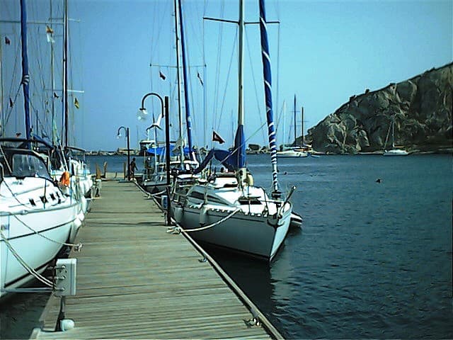
Knidos is an ancient site on the Datça peninsula. Its nearest charted neighbour is Deveboynu Burnu, 1.0 km away. One of 3 charted points along the Datça shore. Compiled from open data (OpenStreetMap); not navigation or route advice.
Knidos is an ancient site on the Datça peninsula. Its nearest charted neighbour is Deveboynu Burnu, 1.0 km away. One of 3 charted points along the Datça shore. Compiled from open data (OpenStreetMap); not navigation or route advice.
Mavi Koy is for cultural and geographic discovery. It is not nautical navigation, depth, weather, anchoring, or safety guidance.