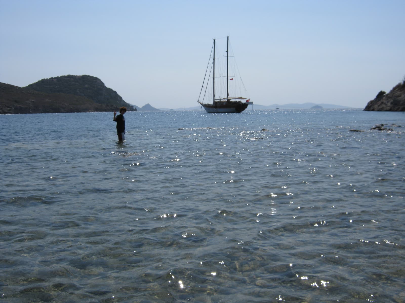
Gumusluk is a coastal heritage and harbor record in Bodrum on the Bodrum coast. Its OpenStreetMap record and Commons photo give the page settlement and harbor context inside the Bodrum-Datça collection.
Gumusluk is one of the open-data coastal stops selected for Mavi Koy on the Bodrum coast. The narration is not nautical navigation; it reads coastal names, lighthouses, islands, and sea-visible heritage as a cultural layer.
Mavi Koy is for cultural and geographic discovery. It is not nautical navigation, depth, weather, anchoring, or safety guidance.