Ordered route
Kastamonu: full day · food + sea
Kastamonu full day route with 6 mapped stops: 0 heritage, 6 coastal. 2 regional food recommendations are shown separately.
Spatial view
Route at a glance
In order
Your stops
- 140.7 km from center →
Gideros Bay
Coastal stopCide
Gideros Bay is a cove on the Black Sea coast. Its nearest charted neighbour is Cide Harbor, 3.8 km away. Compiled from open data (OpenStreetMap); not navigation or route advice.
Open record - 23.8 km →
Cide Harbor
Coastal stopCide
Cide Harbor is a harbour on the Black Sea coast. Its nearest charted neighbour is Gideros Bay, 3.8 km away. Compiled from open data (OpenStreetMap); not navigation or route advice.
Open record - 38.3 km →
Gebeş Plajı
Coastal stopCide
Gebeş Plajı is a beach on the Black Sea coast. Its nearest charted neighbour is Cide Harbor, 8.3 km away. Compiled from open data (OpenStreetMap); not navigation or route advice.
Open record - 421.7 km →
Asagicamli, Kemerli Magarasi
Coastal stopUlus
Asagicamli, Kemerli Magarasi is a sea cave on the Black Sea coast. Its nearest charted neighbour is ULUYAYLA OBRUK, 17.5 km away. Compiled from open data (OpenStreetMap); not navigation or route advice.
Open record - 518 km →
ULUYAYLA MAĞARASI
Coastal stopUlus
ULUYAYLA MAĞARASI is a sea cave on the Black Sea coast. Its nearest charted neighbour is ULUYAYLA MAĞARA ÇIKIŞI, 326 m away. Compiled from open data (OpenStreetMap); not navigation or route advice.
Open record - 670.3 km →
Kerempe Burnu
Coastal stopCide
Kerempe Burnu is a cape on the Black Sea coast. Compiled from open data (OpenStreetMap); not navigation or route advice.
Open record
Along the way
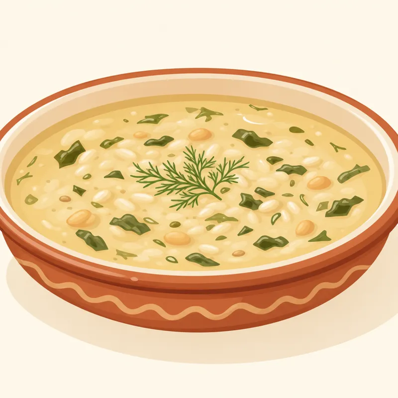
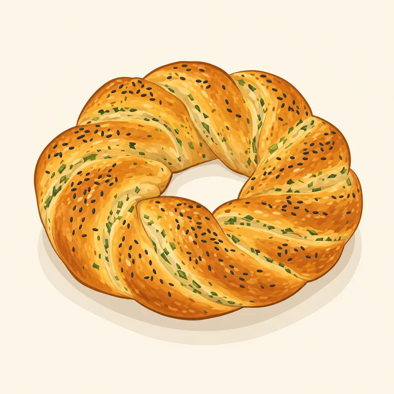
Regional food records
These records do not have a verified venue, so they are recommendations rather than numbered route stops.
Once you set off
Let your live location lead
Drive Mode does not follow this planned order. It plays nearby heritage stories based on your live location.