Build a route8 mapped 8 records See the fixed day instead
Ordered route
Bursa: full day · history + sea
Bursa full day route with 8 mapped stops: 6 heritage, 2 coastal.
Spatial view
Route at a glance
In order
Your stops
- 1
 9.8 km from center →
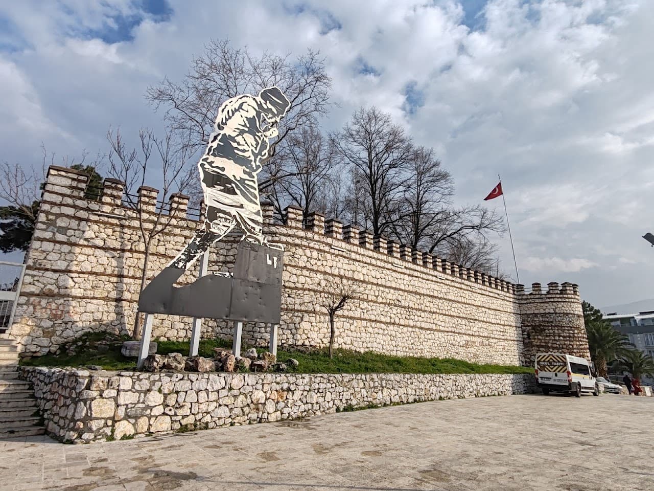
Kestel Kalesi
CastleKestel
Open record - 2
 4.8 km →
Cumalıkızık Etnografya Müzesi
MuseumYıldırım
Open record - 3
 7.3 km →
Kara Davut Kabri
MonumentYıldırım
Open record - 4
 0.2 km →
Molla Hüsrev Kabri
MonumentYıldırım
Open record - 5
 0.9 km →
Panorama 1326 Bursa Conquest Museum
MuseumOsmangazi
Open record - 6
 1.7 km →
Pars Bey Türbesi
TombOsmangazi
Open record - 727.9 km →
Gemlik Gulf
Coastal stopArmutlu
Gemlik Gulf is a cove on the Marmara coast. Its nearest charted neighbour is Fıstıklı İskele Sahili, 9.4 km away. Compiled from open data (OpenStreetMap); not navigation or route advice.
Open record - 811.6 km →
Kumla Halk Plajı
Coastal stopGemlik
Kumla Halk Plajı is a beach on the Marmara coast. Its nearest charted neighbour is Gemlik Gulf, 11.6 km away. Compiled from open data (OpenStreetMap); not navigation or route advice.
Open record
Once you set off
Let your live location lead
Drive Mode does not follow this planned order. It plays nearby heritage stories based on your live location.