Harran
Ancient siteHarran, Şanlıurfa
36.8629°N · 39.0299°E

- Area
- 1.054 km²
Harran is a ancient site in Harran, Şanlıurfa; Continuously inhabited since 2000 BC — the conical mudbrick beehive houses are the only ones in Anatolia.
Start here
Practical info
- Location
- 36.8629°N · 39.0299°E
KahveRota
Are you here?
Explore Harran, spend a little time here and collect your route rewards.
Continuously inhabited since 2000 BC — the conical mudbrick beehive houses are the only ones in Anatolia.
Editor's Note
Harran is a district of Şanlıurfa Province, Turkey, lying near the Syrian border about 40 km southeast of Urfa and some 20 km from the border crossing at Akçakale.
Read more on Wikipedia →Timeline
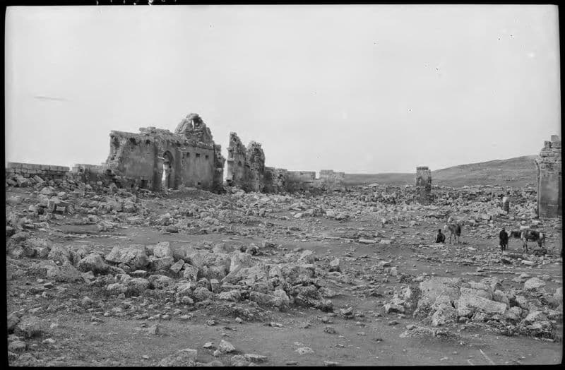
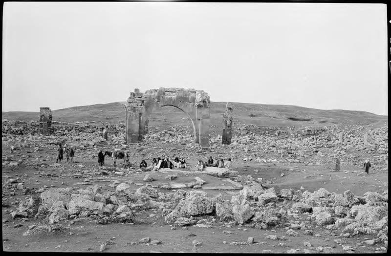
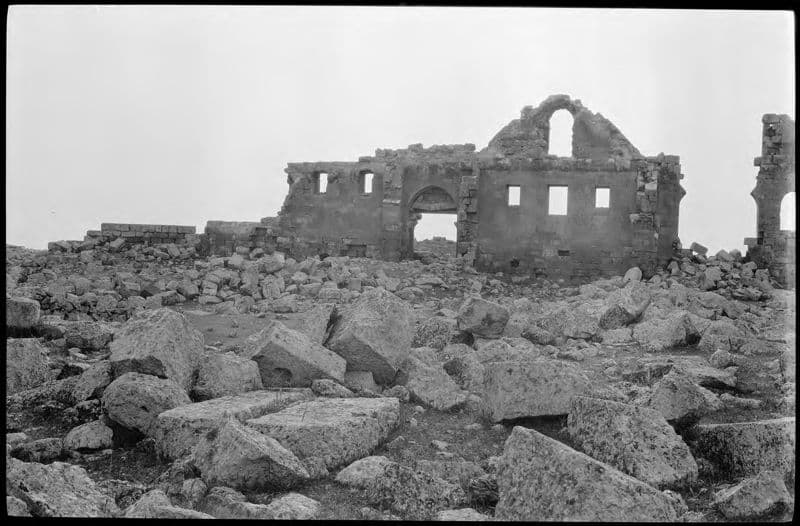
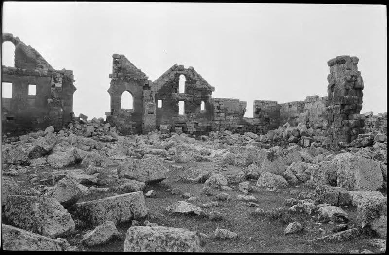
3 dated records from 1911 to 13 May 2022, each with its source.
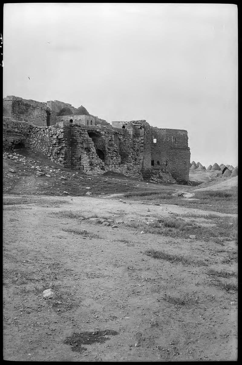
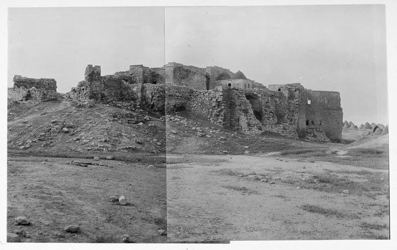
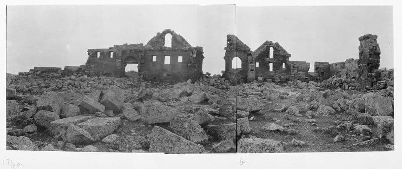
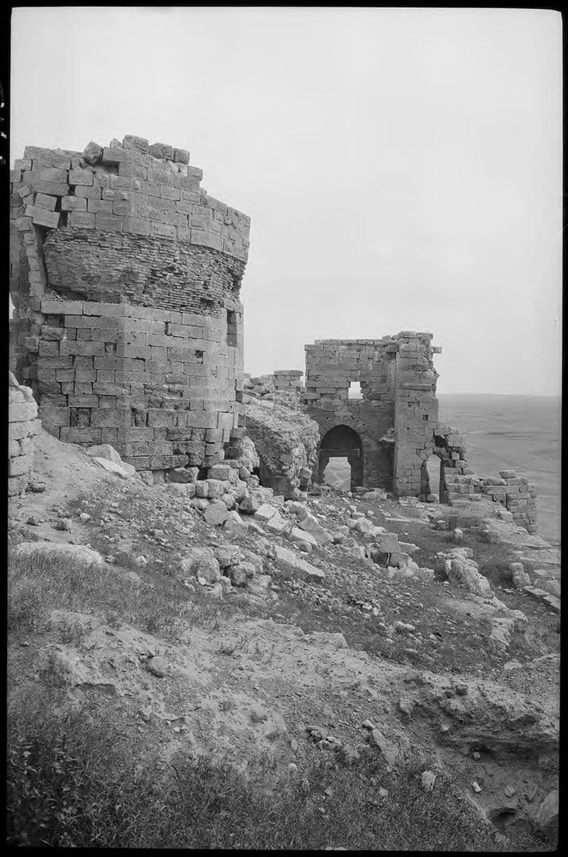
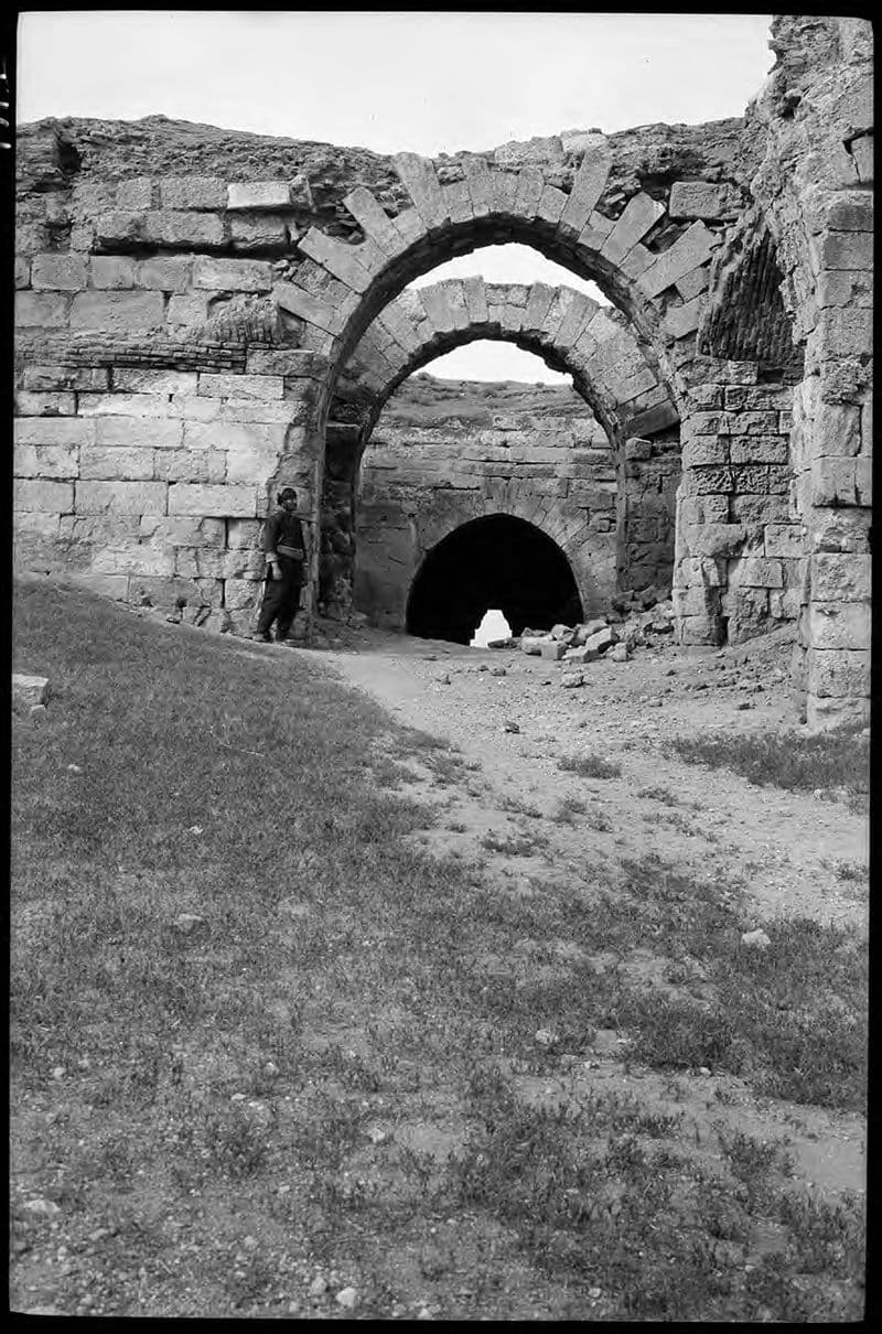
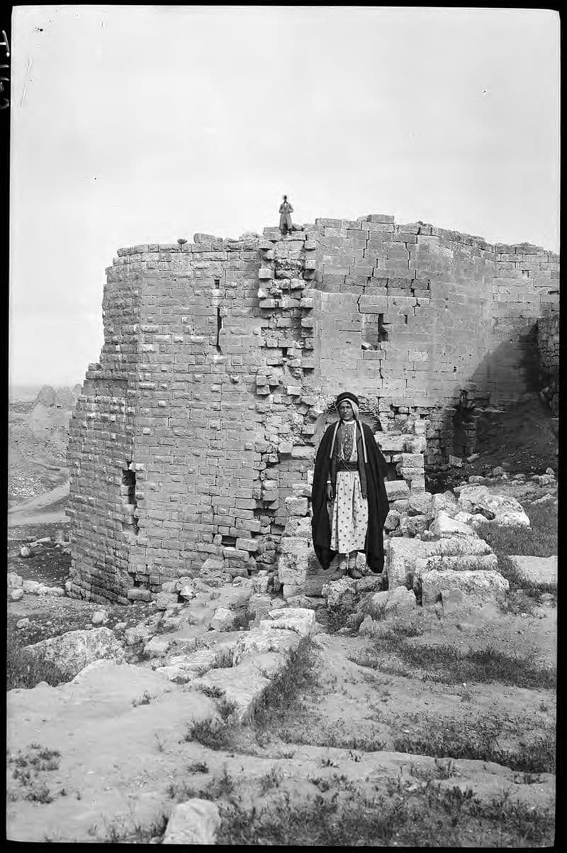
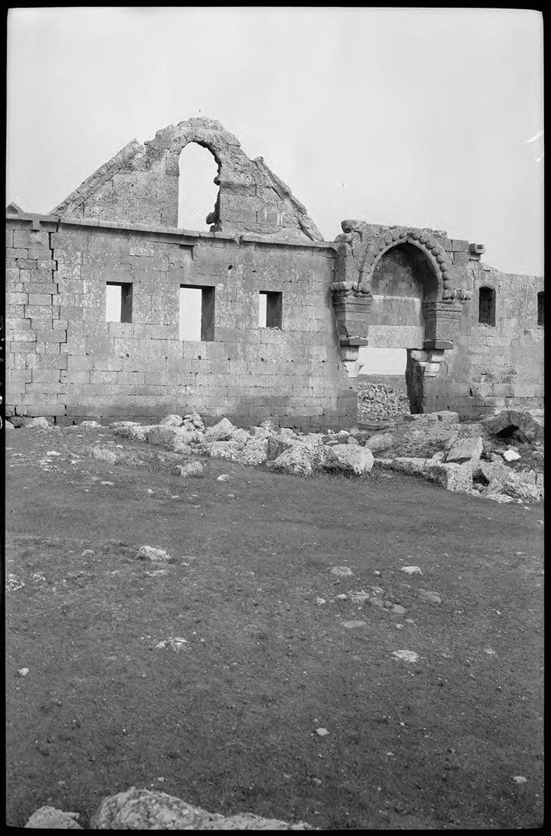
Citadel - general view of exterior. Beehive village in background.
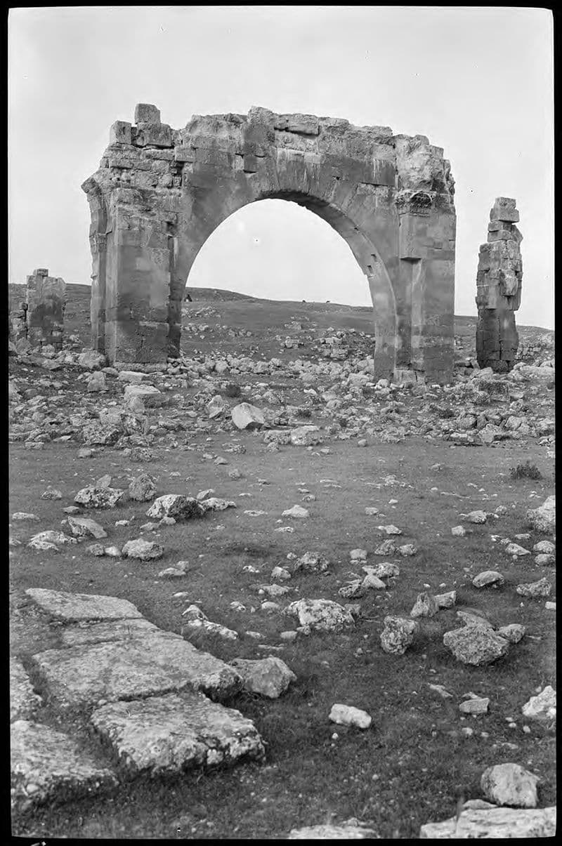
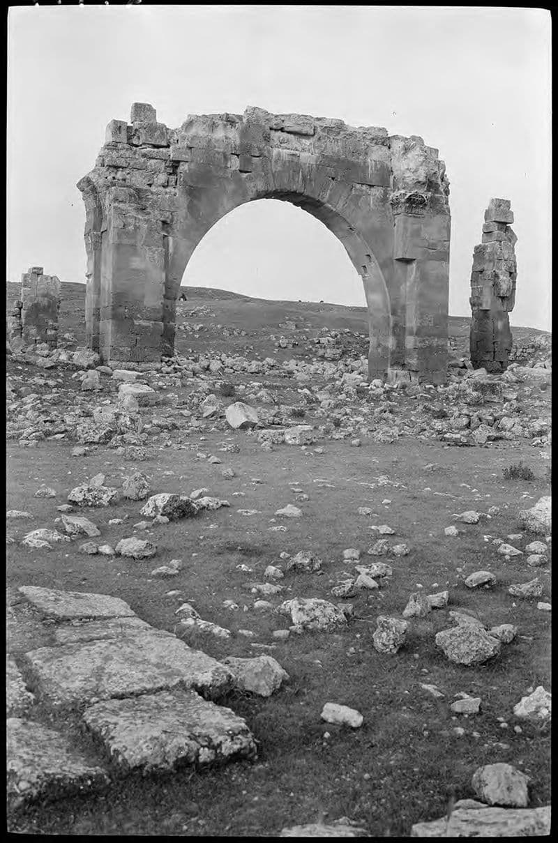
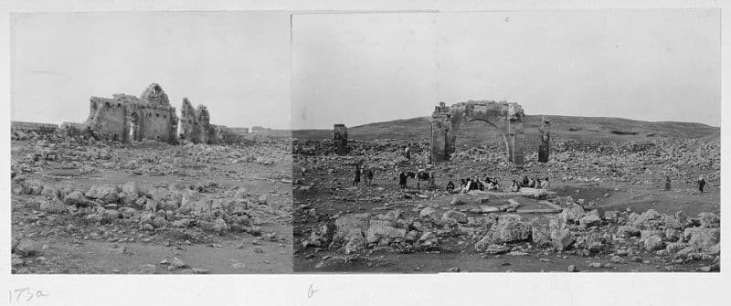
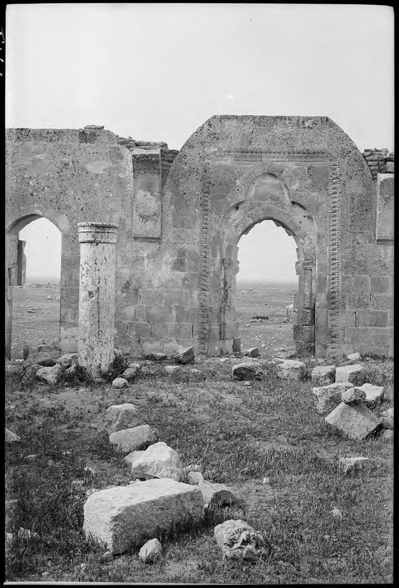
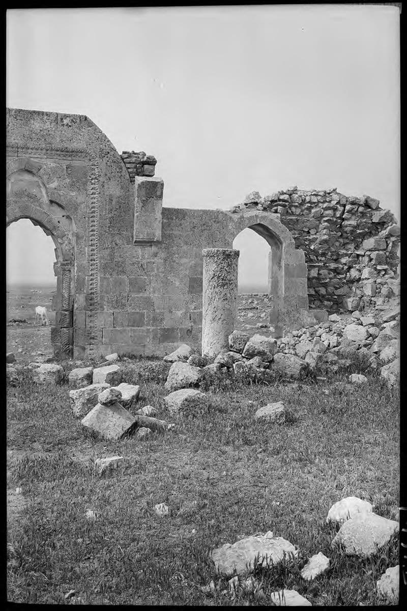
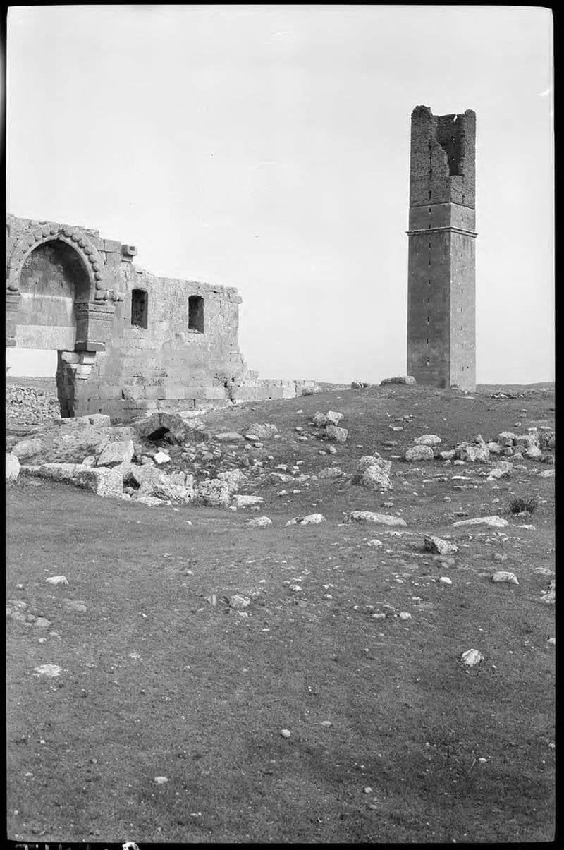
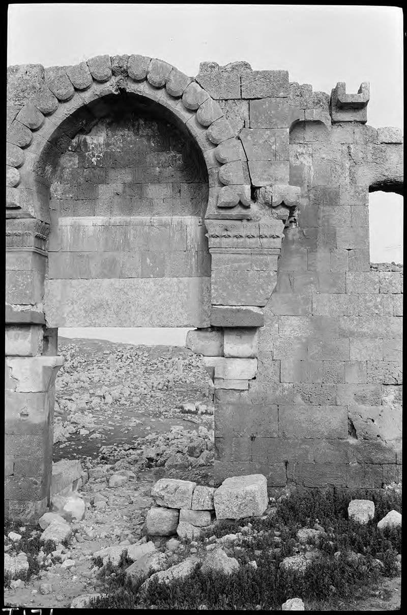
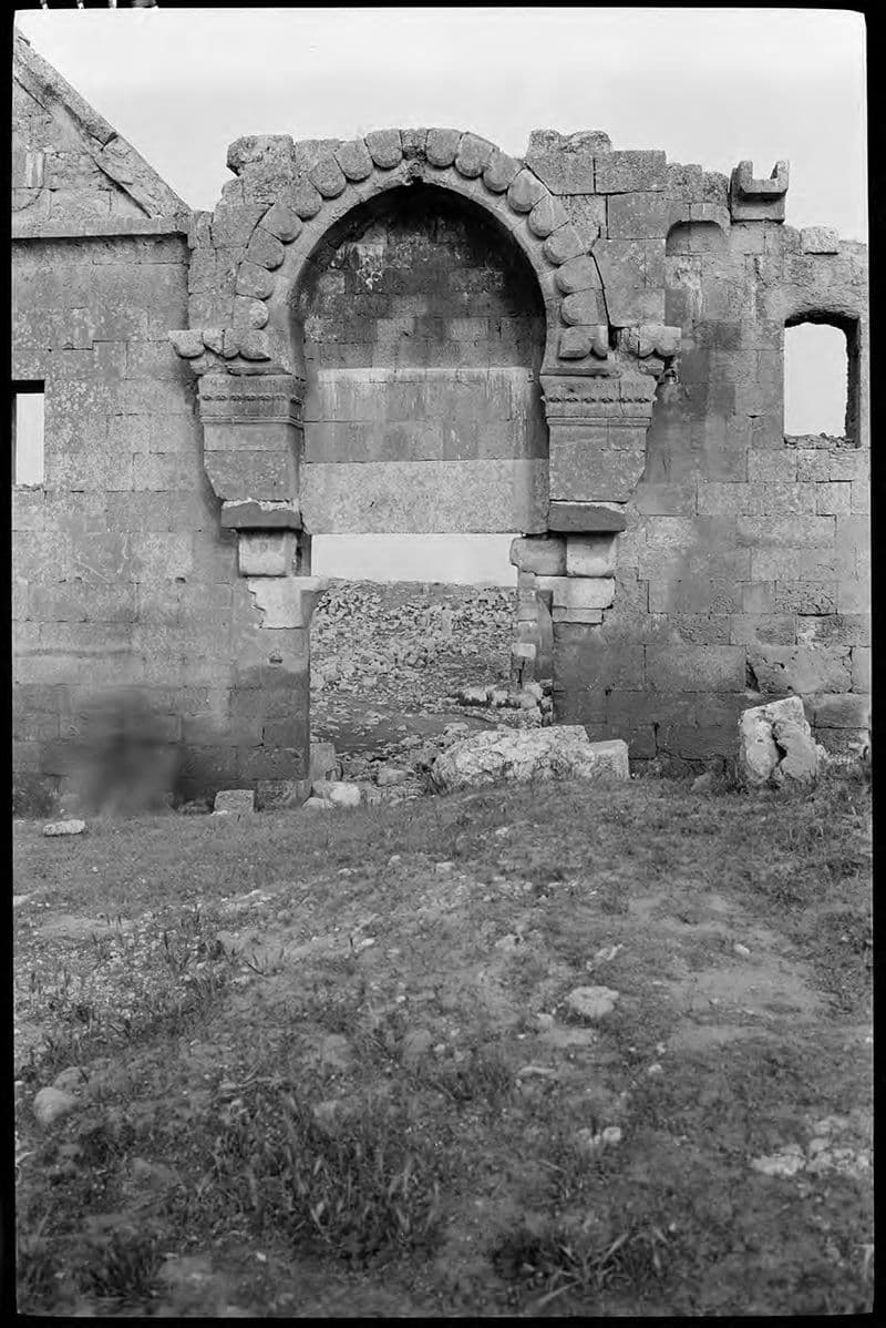
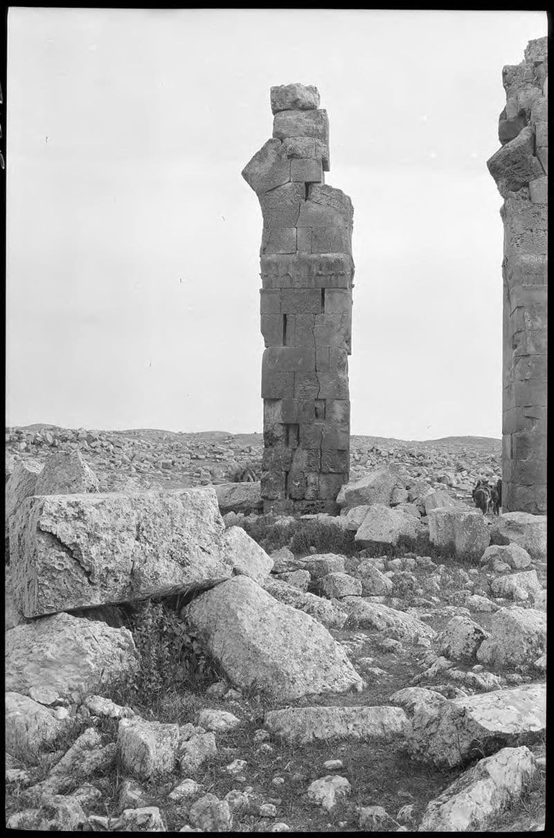
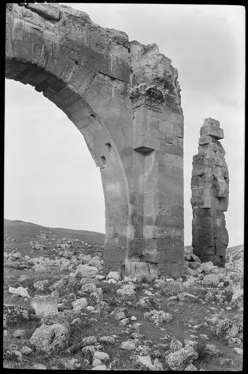
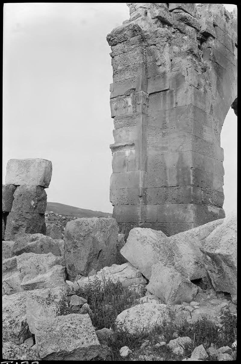
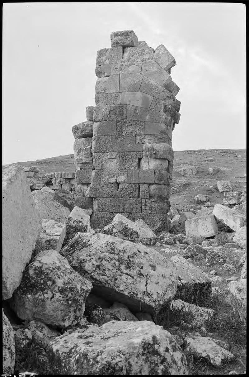
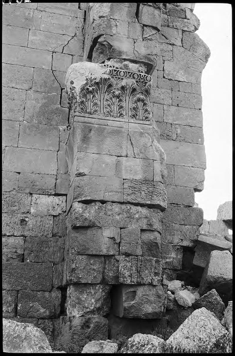
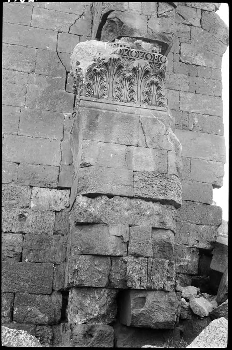
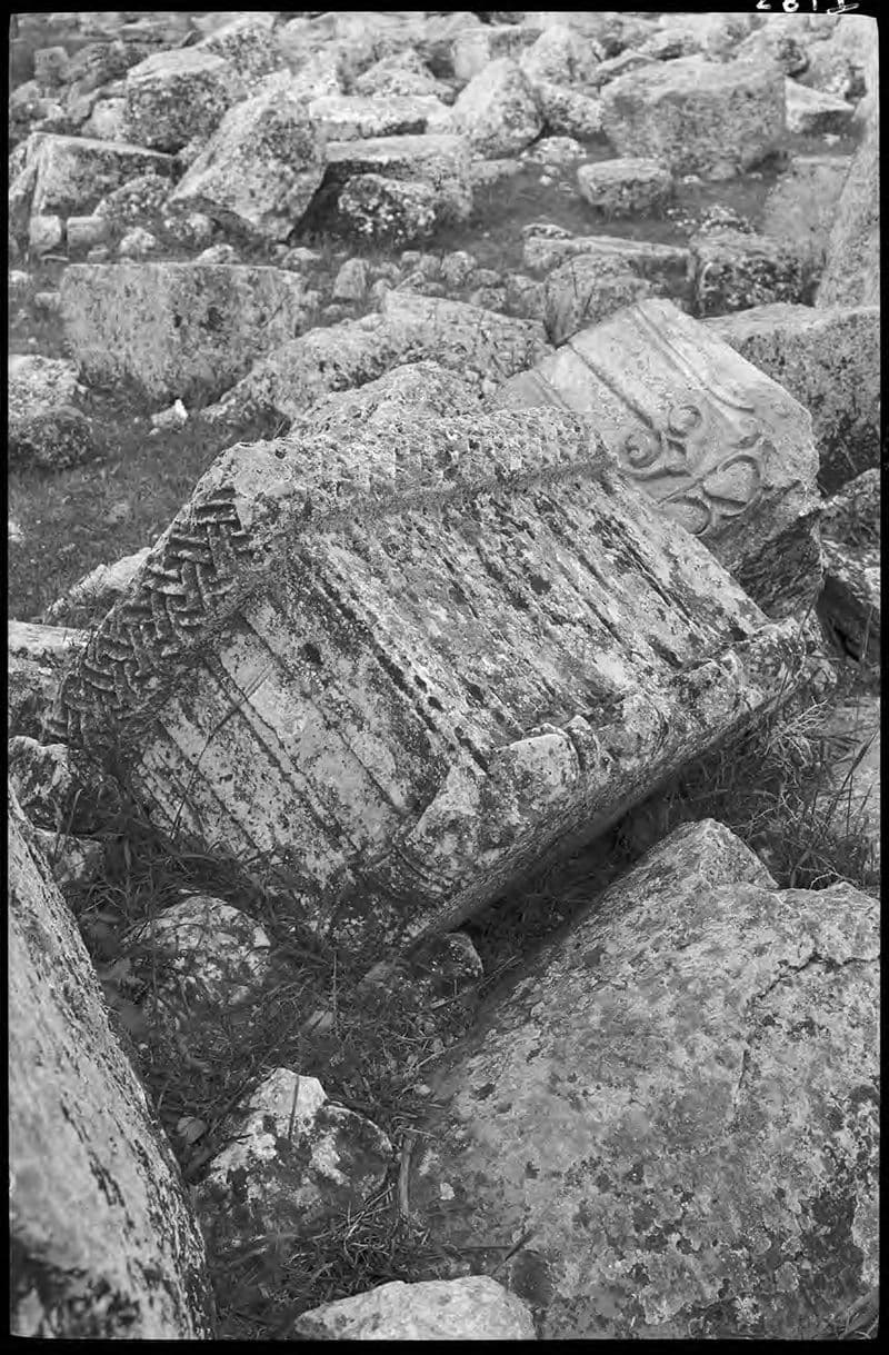
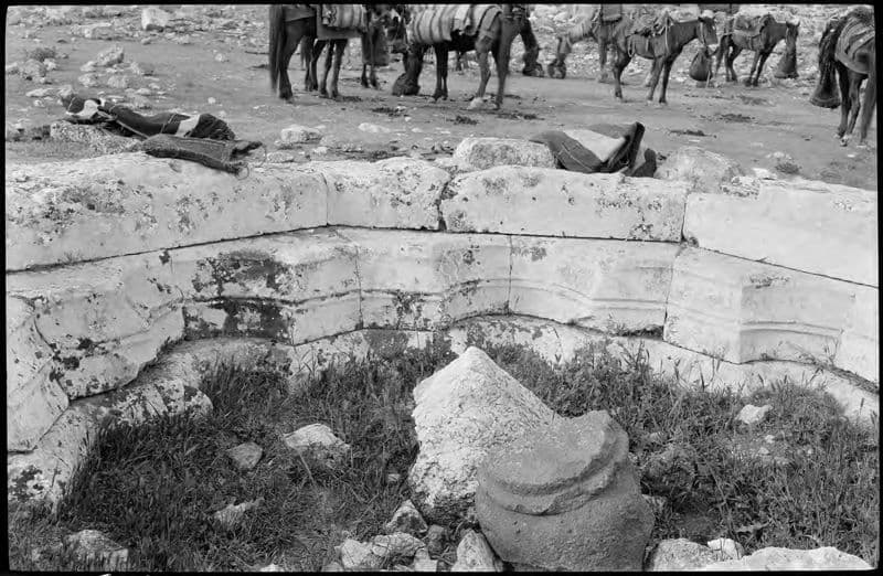
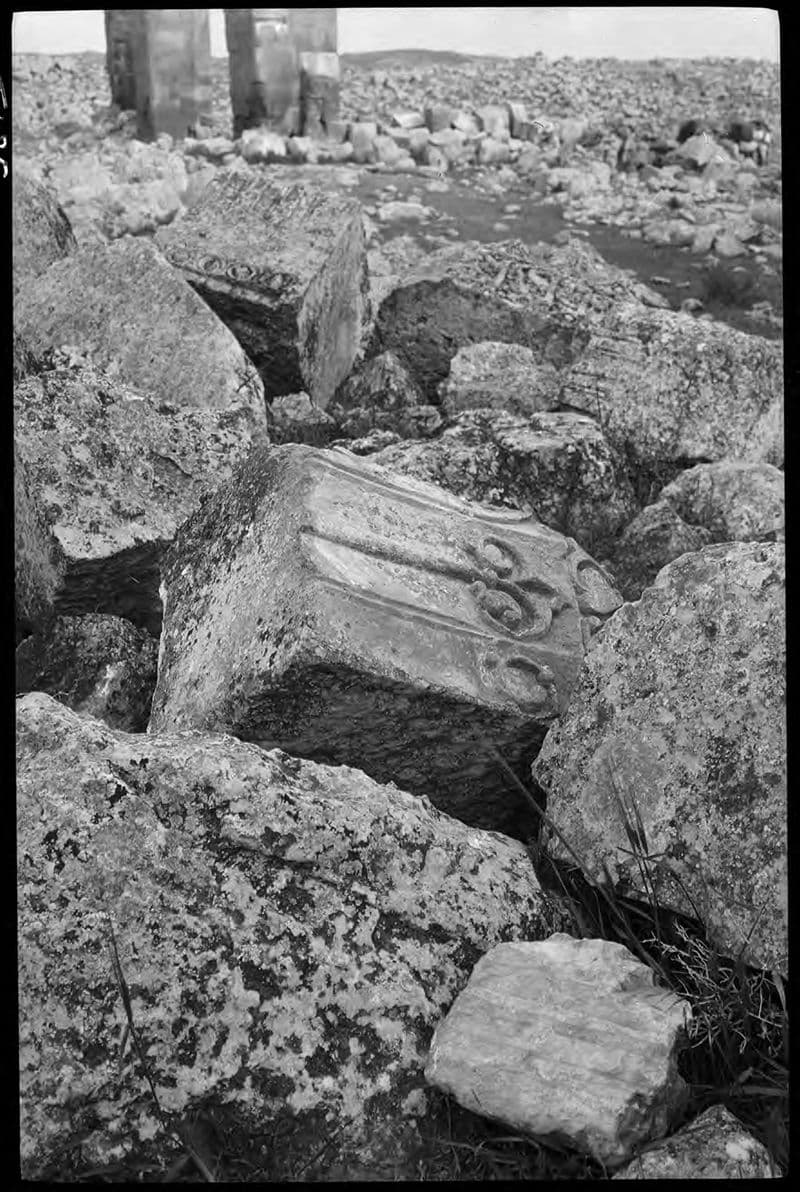
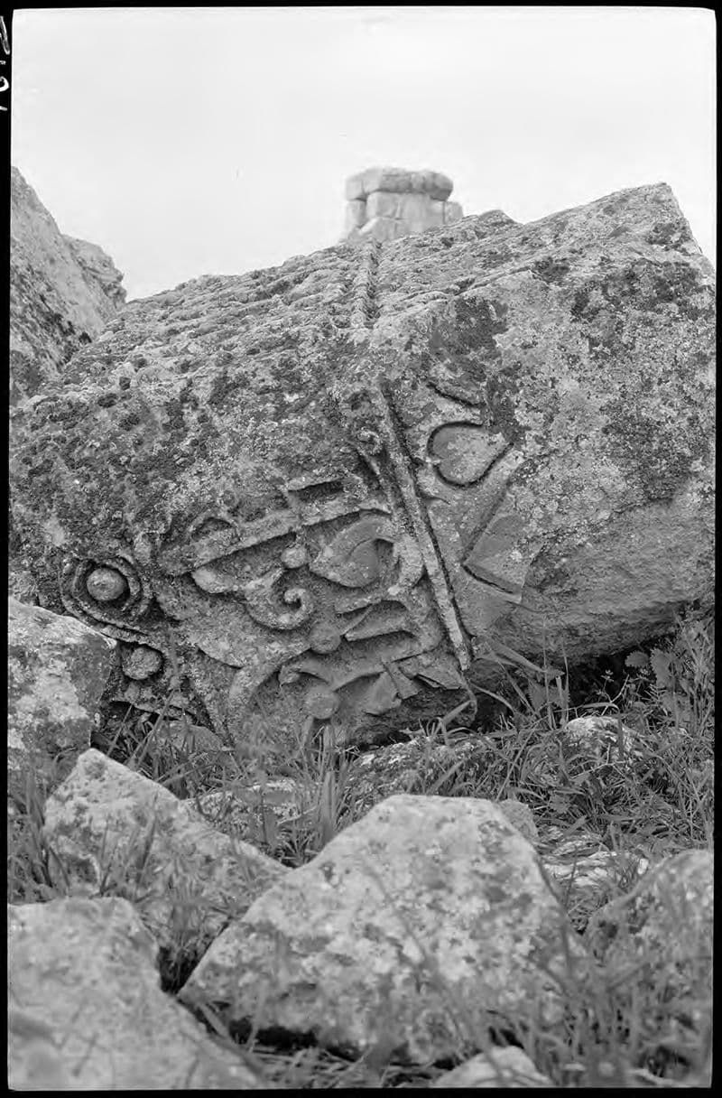
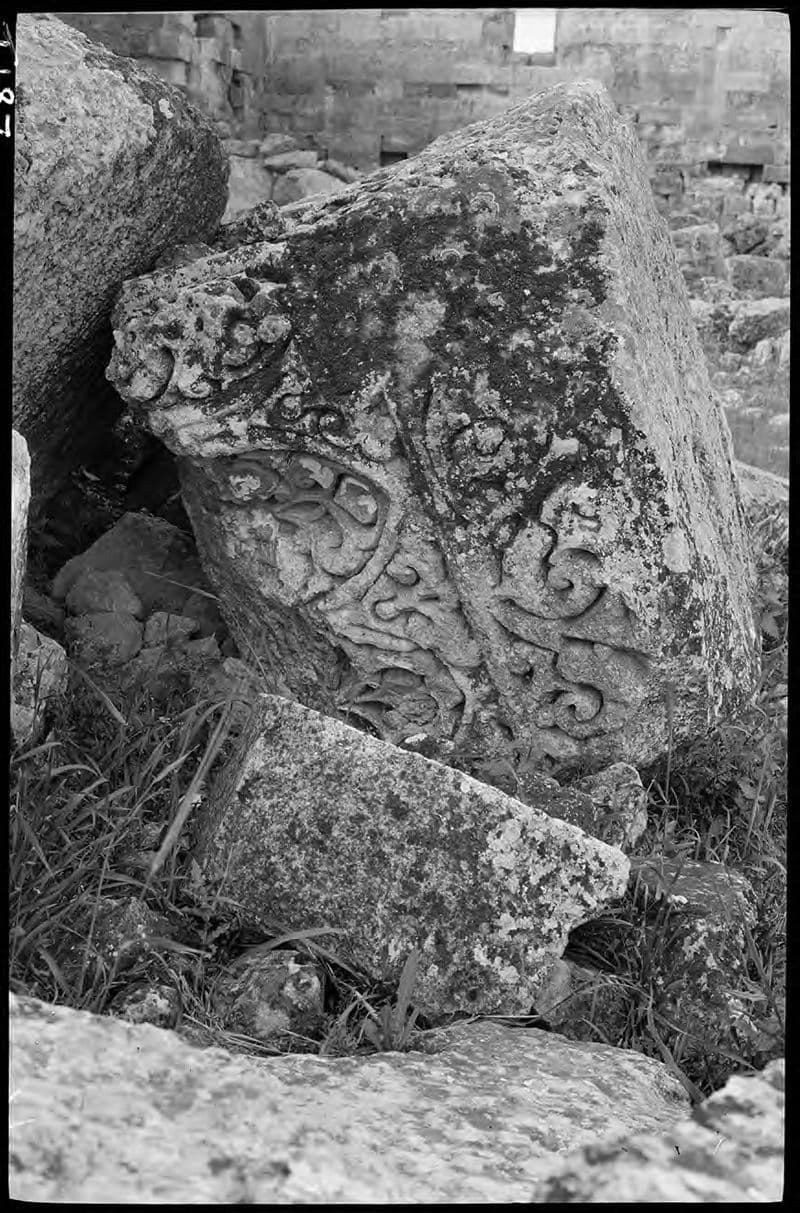
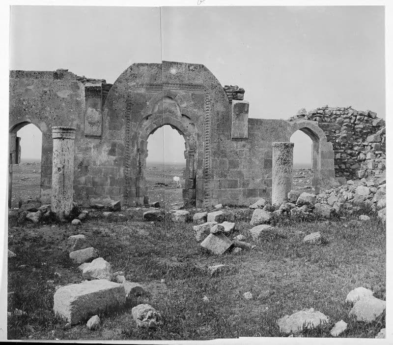
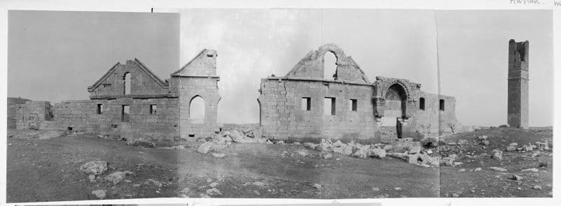
Photo: Gertrude Bell · CC BY-SA 4.0 · Gertrude Bell Archive, Newcastle University 40 more photographs from this period
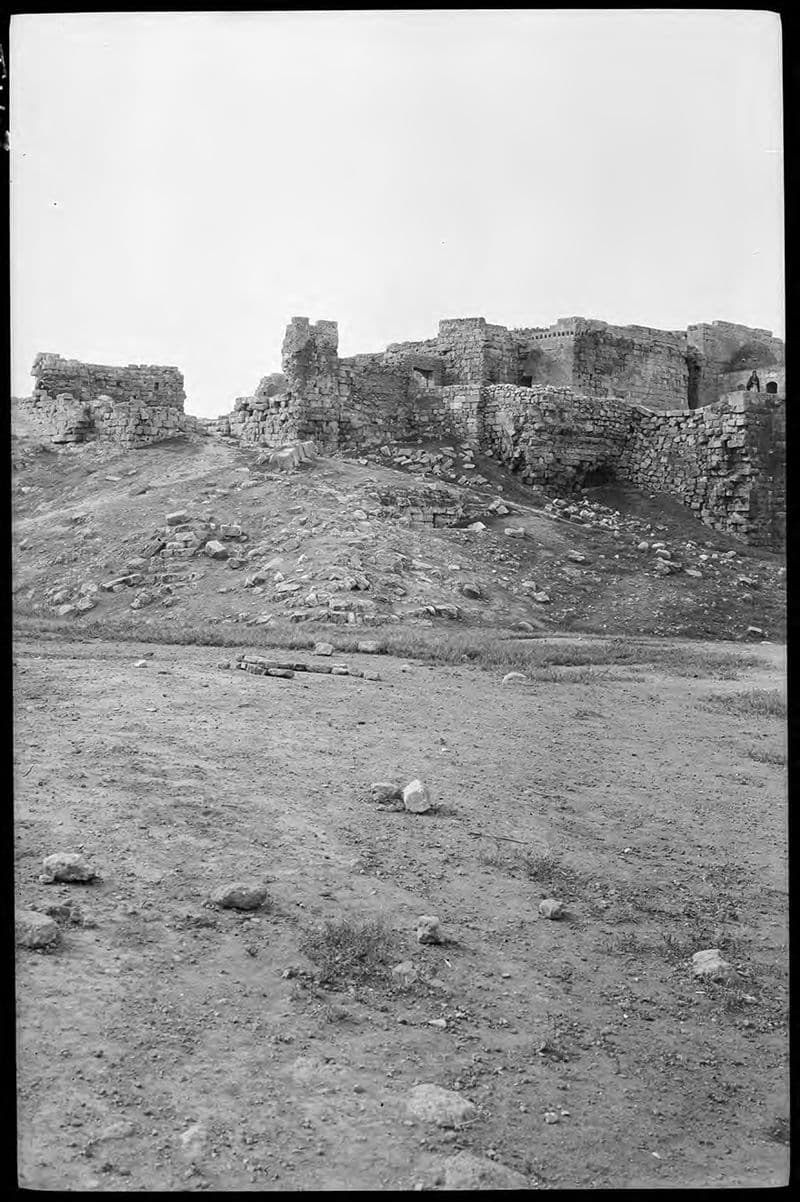
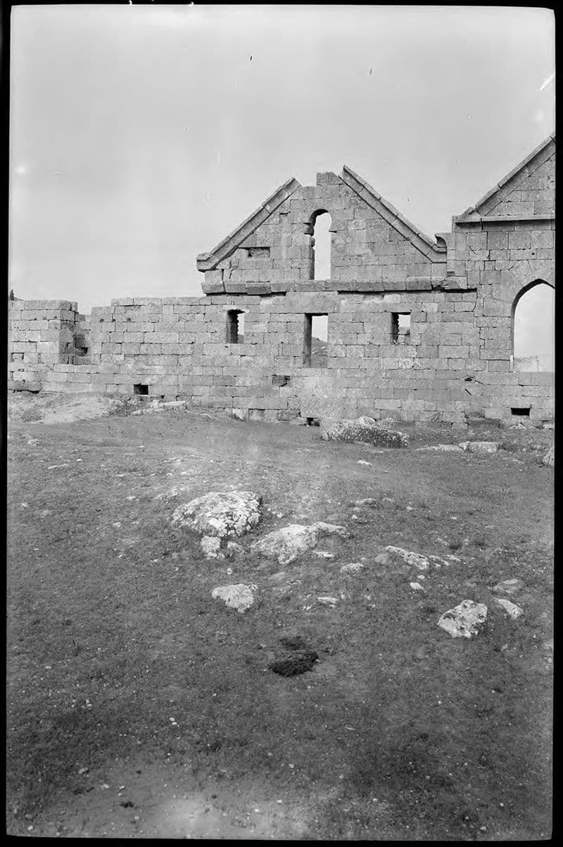
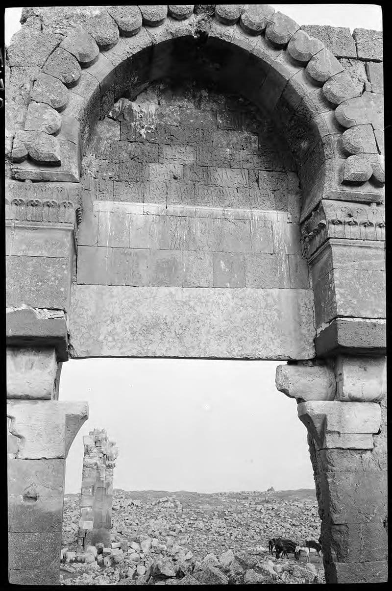
Photo: Gertrude Bell · CC BY-SA 4.0 · Gertrude Bell Archive, Newcastle University

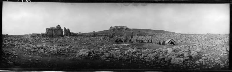
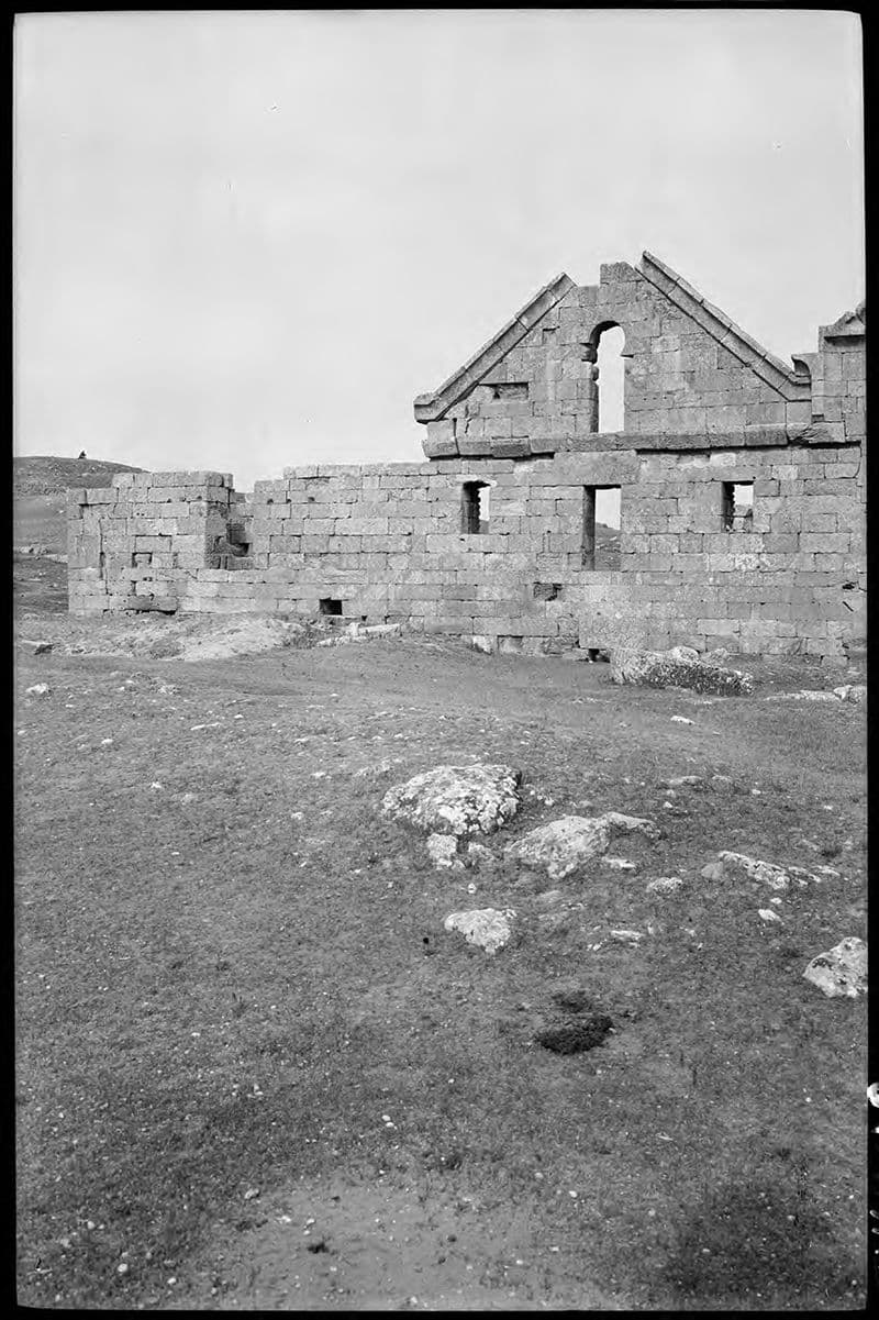
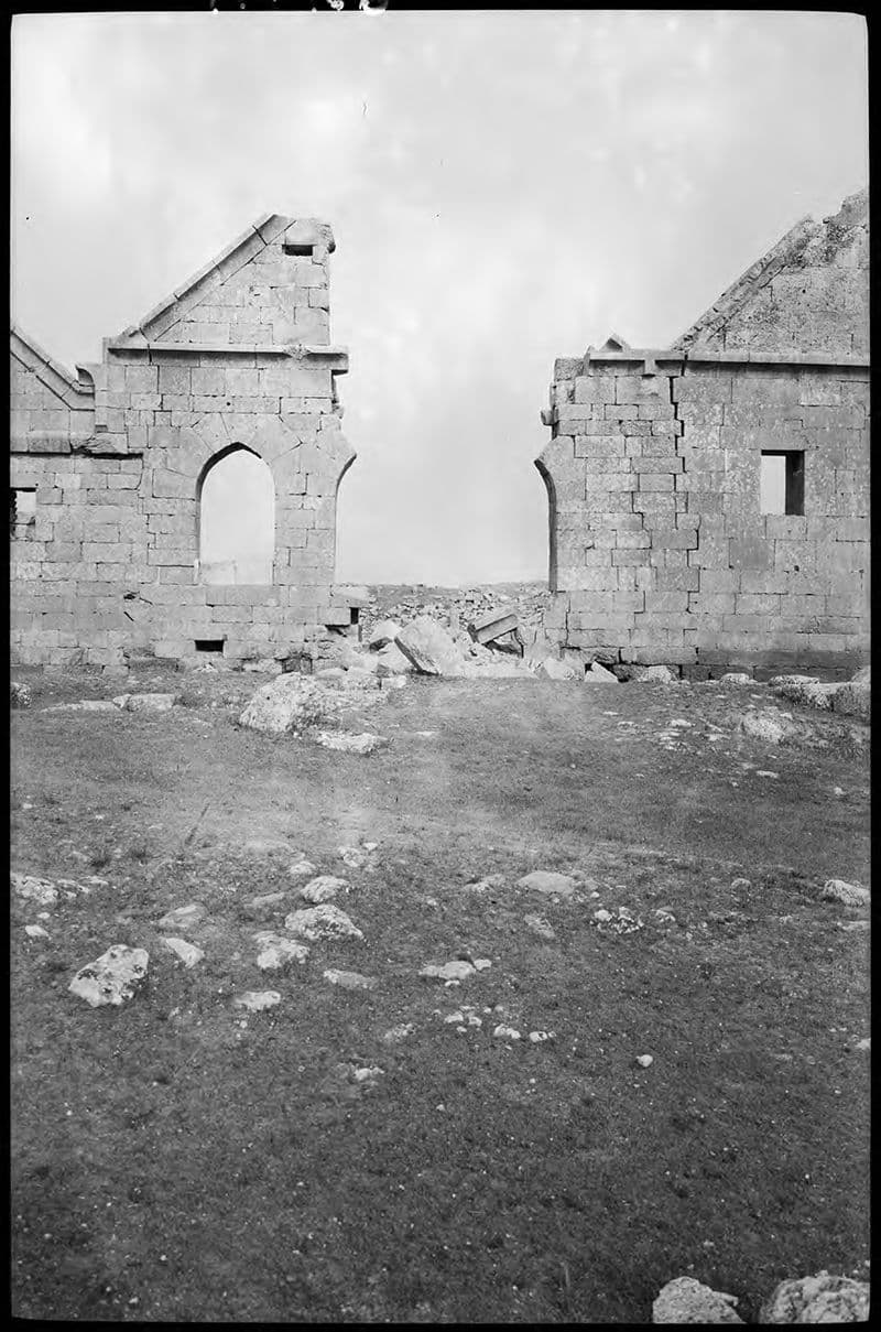
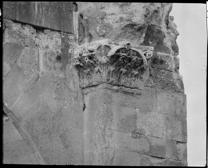
Photo: Theugursevinc · CC BY-SA 4.0 · Wikimedia Commons 
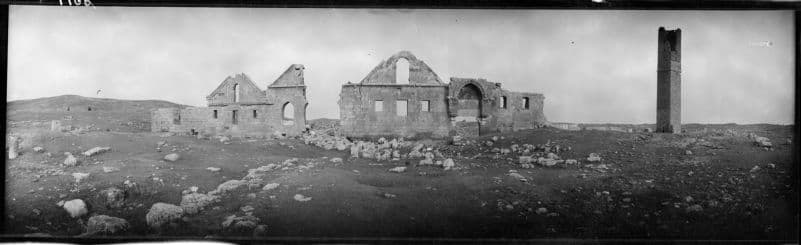
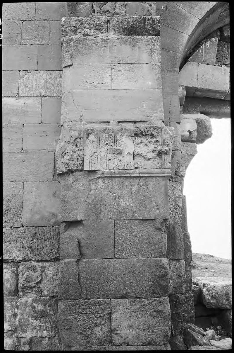
Photo: Syildirimer · CC BY-SA 4.0 · Wikimedia Commons
Reviews
Be the first to leave a word.
A rating and a few sentences. It helps the next visitor.
Help improve this page