Coastal heritage
Maiden's Tower
Kız Kulesi
Maiden's Tower is a coastal-heritage point on the Istanbul strait and lighthouse line. Its nearest charted neighbour is Defterdarburnu, 4.0 km away. Compiled from open data (OpenStreetMap); not navigation or route advice.
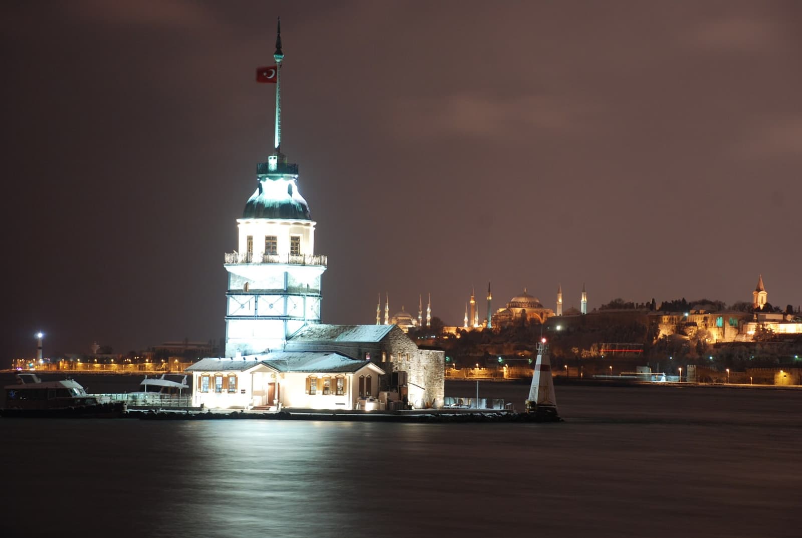
Kız Kulesi, İstanbul Boğazı'nın Marmara Denizi'ne yakın kısmında, Üsküdar yakınlarında, Salacak açıklarında yer alan küçük adacık üzerinde inşa edilmiş yapıdır.
Source: Vikipedi · CC BY-SA
Audio note
Maiden's Tower is a coastal-heritage point on the Istanbul strait and lighthouse line. Its nearest charted neighbour is Defterdarburnu, 4.0 km away. Compiled from open data (OpenStreetMap); not navigation or route advice.
Mavi Koy is for cultural and geographic discovery. It is not nautical navigation, depth, weather, anchoring, or safety guidance.
Continue in the coastal atlas
Nearby coves
Nearby heritage sites
The brown-sign heritage places closest to this coast.