Aşağı Pınar Höyüğü
Ancient siteKırklareli merkez, Kırklareli
41.7217°N · 27.2253°E
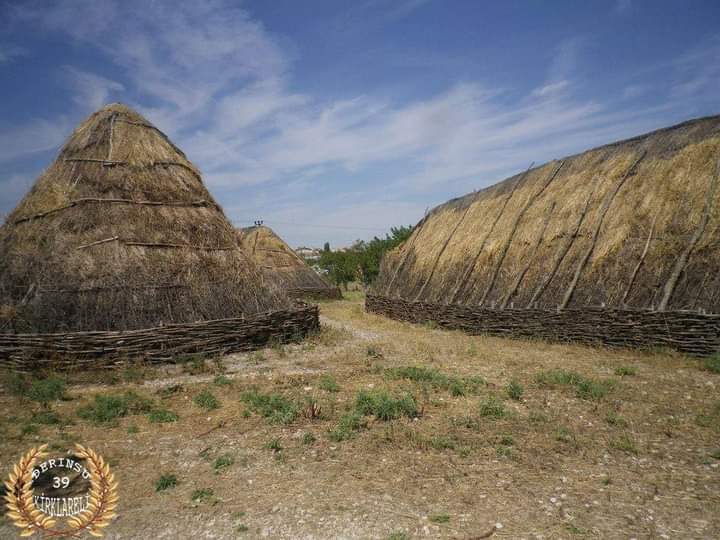
Aşağı Pınar Höyüğü is a ancient site in Kırklareli merkez; Aşağı Pınar is an ancient settlement mound about 3 km south of the centre of Kırklareli, with the Haydardere stream looping past its north and west sides.
3.8(47 on Google)Start here
Practical info
- Location
- 41.7217°N · 27.2253°E
KahveRota
Are you here?
Explore Aşağı Pınar Höyüğü, spend a little time here and collect your route rewards.
Editor's Note
Aşağı Pınar is an ancient settlement mound about 3 km south of the centre of Kırklareli, with the Haydardere stream looping past its north and west sides. A tumulus built over the mound in Late Antiquity caused damage; it was raised on a 38-metre-diameter enclosure wall and filled with soil taken from the foot of the mound. The resulting hill is thought to have been levelled in the late 19th century by Russian forces, who briefly occupied the area, in search of treasure.
Read more on Wikipedia →Reviews
Be the first to leave a word.
A rating and a few sentences. It helps the next visitor.
Help improve this page