Castle· Gelibolu, Çanakkale
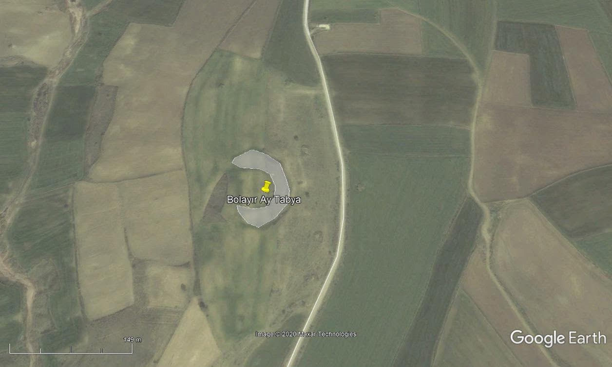
Bolayır Ay Tabya
If you have a photo of this place, upload it; it appears here after review.
Editor's Note
It lies on the Dardanelles side of the Bolayir Fortification Line. It is estimated to have been built in 1853. Although its location is clearer on 2007 satellite maps, today it has largely disappeared and is visible only as a raised earthwork.
Practical info
- Location
- 40.4986°N · 26.7532°E
Reviews
Be the first to leave a word.
A rating and a few sentences. It helps the next visitor.