Castle· Gelibolu, Çanakkale
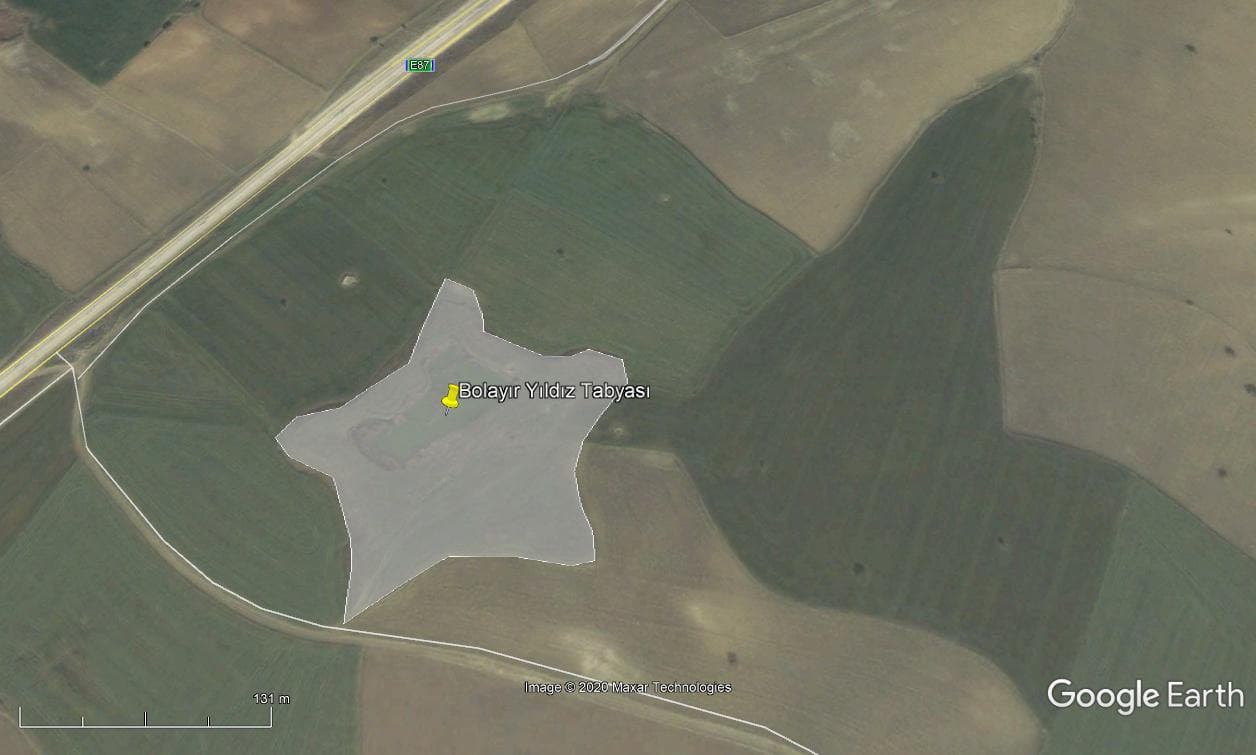
Bolayır Yıldız Tabya
If you have a photo of this place, upload it; it appears here after review.
Editor's Note
It lies on the Gulf of Saros side of the Bolayir Fortification Line. The structure is thought to have been built as an earthen redoubt in 1853. Today it survives as a raised earthwork, a star-shaped earthen embankment.
Practical info
- Location
- 40.5037°N · 26.7130°E
Reviews
Be the first to leave a word.
A rating and a few sentences. It helps the next visitor.