Topyolu Tabyası
RuinsEdirne merkez, Edirne
41.6782°N · 26.5919°E
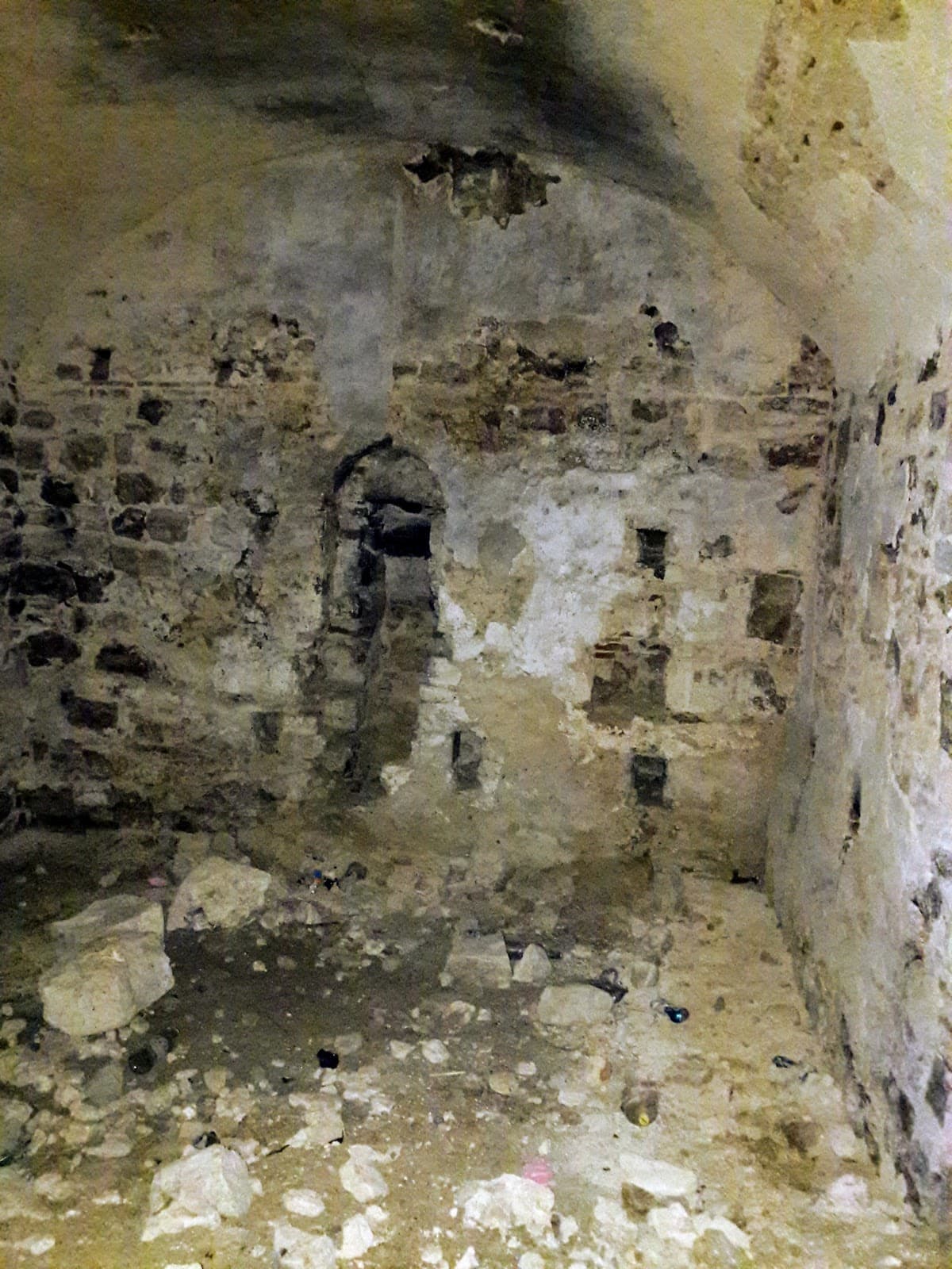
Topyolu Tabyası is a ruins in Edirne merkez.
5.0(2 on Google)Start here
One nearby stopAsker Çeşmesi1.1 km · MonumentOpen placeListen on the roadDrive ModeHear nearby place stories automatically while you drive.Start
Practical info
- Location
- 41.6782°N · 26.5919°E
KahveRota
Are you here?
Explore Topyolu Tabyası, spend a little time here and collect your route rewards.
Topyolu Tabyası is a ruins in Edirne merkez, Edirne, part of Türkiye's brown-sign cultural heritage.
Source: OpenStreetMap This information is compiled from the sources shown.
Reviews
Be the first to leave a word.
A rating and a few sentences. It helps the next visitor.
Help improve this page