Monument· Antakya, Hatay
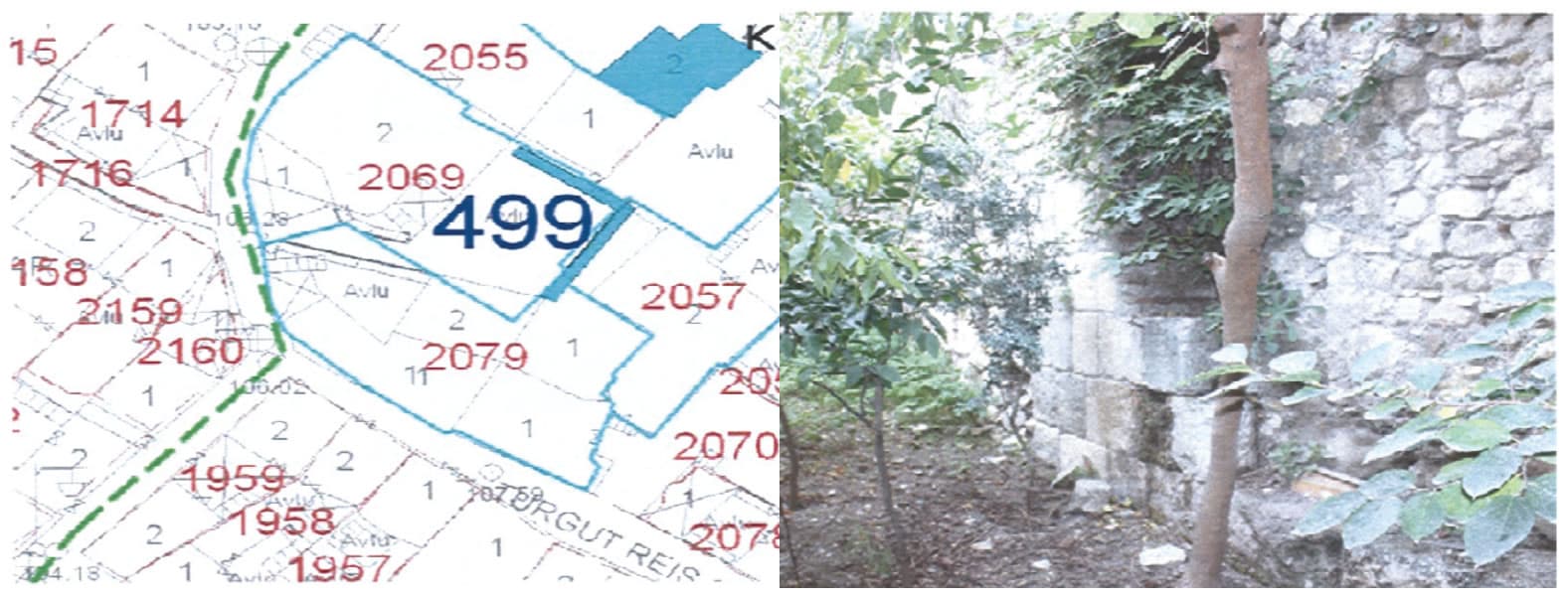
Roma Duvarı 2, Antakya
If you have a photo of this place, upload it; it appears here after review.
Editor's Note
It runs in a northeast-southwest direction and can be traced on the surface for about 6 meters. The building stones are laid in 2 to 3 courses. The upper parts of the wall were reinforced with rubble-stone masonry and incorporated into newer construction. Given the archaeological material found in the same area and reused as spolia, it can be assumed that there was a Roman-period settlement here.
Practical info
- Location
- 36.2024°N · 36.1696°E
Reviews
Be the first to leave a word.
A rating and a few sentences. It helps the next visitor.